Story Map of Tanghin Dam
A public ArcGIS StoryMap connecting plastic pollution, invasive water hyacinths and fishing livelihoods in Ouagadougou, Burkina Faso.
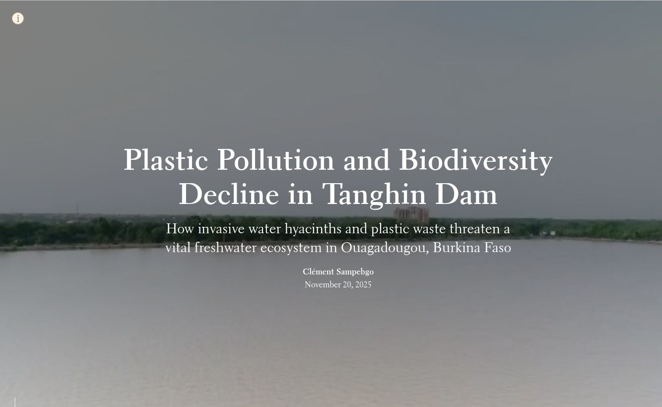
My contribution
Conservation extern · September–November 2025. I researched the issue, organized three research records and built the StoryMap.
The context
Tanghin Dam is a freshwater reservoir within my home city. I wanted to explain how pressures on the water also affect the people who rely on it, and make existing reporting easier for a wider audience to navigate.
How I worked
- Research the issue. Reviewed published reporting on plastic pollution and aquaculture, alongside existing footage of community action against water hyacinths. Assessed relevance and summarized environmental and community implications in three research records.
- Structure the story. Organized the final StoryMap around place, environmental pressures, livelihoods, community action and proposed next steps.
- Make the sources navigable. Combined ArcGIS maps, attributed photographs, video and written explanations into a public narrative. Retained the original media credits and references.
Deliverables & takeaways
The completed work includes three research records and a published StoryMap. The final narrative links environmental pressures with fishing access and livelihoods, then explains practical responses such as continued cleanups, waste collection, awareness and coordination.
My contribution was to bring sources together into a clear, place-based account. The cleanup activities described belong to the community organizations featured in those sources. I did not lead those activities or measure an environmental improvement.
Results in context
- Research records
- 3
- Published StoryMap
- 1
These figures describe completed deliverables, not changes in biodiversity, water quality or community income. The public StoryMap is in English and includes its original media credits and references.
Scope & limitations
This is a research and communication project based on existing sources, not a field survey or a water-quality monitoring study. Interviews in the source reports were conducted by their original creators. Mapped zones are qualitative illustrations, not measured pollution concentrations or a validated change analysis.
The written explanations on this page and in the StoryMap convey the argument without requiring map interaction. ArcGIS maps need a compatible WebGL browser.
Source & supporting evidence
- Explore the public StoryMap
The main work sample: narrative, maps, attributed media and references (English). The written sections remain useful if the interactive maps cannot load.